James Island Commute to Charleston: Everyday Guide
April 16, 2026
April 16, 2026
Wondering what it’s really like to get from James Island to downtown Charleston on a normal weekday? You are not alone. For many buyers, the appeal of James Island is easy access to downtown paired with a more residential island setting, but the day-to-day commute can feel different depending on where you live and which route you use. This guide walks you through the main corridors, traffic patterns, and transit options so you can make a more confident move. Let’s dive in.
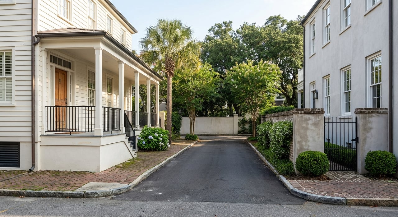
James Island sits close to downtown Charleston, but your daily drive is usually shaped more by corridor choice and timing than by distance alone. The main connections are SC 30, the James Island Connector/Expressway, and SC 171, Folly Road, with downtown-side routing often moving through Lockwood Drive and Spring Street according to SCDOT corridor guidance.
That matters if you are comparing homes in different parts of the island. Two addresses may both be on James Island, but one may reach a main route much faster than the other.
If your goal is the simplest path into downtown, SC 30 is often the key route to know. SCDOT has identified it as a primary connection for traffic moving between downtown and James Island, especially when work or closures affect nearby bridges or approaches.
During downtown bridge work, SCDOT has routed traffic from Spring Street to Lockwood Drive and across the Ashley River on SC 30, reinforcing how important this corridor is for daily access and detours. You can see that pattern in SCDOT traffic and routing updates.
Folly Road, or SC 171, is the main north-south roadway on James Island. It connects many of the island’s major junctions and local streets, including Camp Road, Fort Johnson Road, Secessionville Road, Central Park Road, and Riverland Drive, as shown on Charleston County’s James Island road project page.
For many residents, Folly Road is the first step in the commute, even if the trip later shifts onto SC 30. It is also the corridor served by CARTA Route 31, which can make it useful for both drivers and bus riders.
In practical terms, homes closer to SC 30, Folly Road, Harbor View Road, Riverland Drive, or Central Park/Fleming Road often have simpler downtown access. That takeaway comes from the route map and corridor network, not a fixed rule, but it is a helpful lens when you are comparing areas of the island.
If you are farther into a neighborhood, the commute can still work well. It may just involve more time on local streets before you reach one of the main downtown links.
The biggest reason commute times can vary is simple: these are busy roads. According to 2023 SCDOT traffic counts for Charleston County, SC 171 between Camp Road and SC 30 carried an estimated 50,900 vehicles per day.
That same report shows SC 30 between SC 171 and Harbor View Road at 35,700 vehicles per day, and SC 30 between Harbor View Road and US 17 at 61,400 vehicles per day. Other heavily traveled James Island segments include SC 171 between Folly Road Boulevard and SC 61 at 45,400 vehicles per day.
If you commute at off-peak times, James Island can feel very convenient to downtown. If you travel during heavier morning or evening traffic, the same route may feel much slower.
Long-range planning materials from BCDCOG describe Folly Road as the primary north-south roadway across James Island and note congestion on sections south of the James Island Connector. For buyers, the takeaway is simple: timing matters almost as much as route choice.
Another factor to keep in mind is corridor flexibility. SCDOT has used SC 30 as an alternate route during Folly Road Bridge inspections over Wappoo Cut, and it has also routed traffic through Lockwood Drive and SC 30 during downtown bridge work.
That means even if you usually rely on Folly Road, it helps to understand the connector as a backup option. On James Island, having a plan B is part of commuting smart.
If you want an alternative to driving every day, CARTA Route 31 serves both James Island and downtown Charleston. CARTA states that the route provides direct service to MUSC and the College of Charleston, with downtown stops that include the Charleston Visitor Center, Calhoun Street, and Mary Street/Meeting Street.
For some commuters, that can be a practical option for work, classes, or regular downtown appointments. It can also be helpful if you want to avoid daily parking costs.
CARTA has announced that Route 31 runs every 45 minutes, which is an important detail if you are thinking about using transit regularly. A bus option may be convenient, but it works best when your schedule can flex around those gaps.
If you are considering a home purchase on James Island and hope to use transit, it is smart to look at your likely stop access and daily timing before you decide.
Once you are downtown, CARTA’s DASH shuttle system can make the rest of your trip easier. DASH is free and serves key peninsula destinations including the Aquarium/College of Charleston area, Meeting Street/King Street, Lockwood/Calhoun, Waterfront Park, City Market, and Upper King.
That setup can reduce the need to drive directly into every downtown destination. In some cases, you may be able to combine Route 31 with DASH and skip the parking search altogether.
CARTA also offers the Transit app for real-time tracking and trip planning. If you are testing out a car-free day or building a backup plan for workdays, real-time updates can make transit easier to use.
For ADA-eligible riders, CARTA also offers Tel-A-Ride service in parts of James Island and the peninsula. That adds another option depending on your transportation needs.
When you shop for a home on James Island, it helps to look beyond square footage and finishes. Your exact location on the island can change how quickly you reach SC 30 or Folly Road, and that can shape your daily routine.
If downtown access is high on your priority list, ask how many turns and local streets separate a home from the nearest main corridor. That question alone can help you narrow your search.
Instead of asking whether James Island is close to downtown, ask a more useful question: how will this specific address function on a Tuesday morning? That is often where the best decision-making happens.
Some buyers are happy with a little extra neighborhood drive time in exchange for a certain setting or home style. Others want the most direct possible route because they make the trip often. Both approaches can work, as long as you match the home to your routine.
Because traffic, bridge work, and corridor changes can all affect the drive, flexibility is valuable. A home with easy access to more than one route may feel more convenient over time than one that depends heavily on a single path.
That does not mean one part of James Island is universally better than another. It means your best fit depends on where you need to go, when you travel, and whether driving, transit, or a mix of both makes the most sense for you.
James Island remains a strong option if you want residential island living with regular access to downtown Charleston. The biggest tradeoff is that commute convenience depends heavily on exact location, corridor choice, peak traffic, and ongoing roadway work.
If you are considering a move, the best next step is to evaluate homes through the lens of your real daily routine, not just the map. If you want help comparing neighborhoods, commute patterns, and day-to-day lifestyle fit on James Island and across Charleston, connect with Nicole Lemieux.


Whether you're looking for your first home, the perfect investment, or selling a property for top value, Nicole Lemieux is your ideal ally. With years of experience Nicole combines deep local market knowledge with a personalized approach to deliver outstanding results.
170 Meeting Street, unit 304 Charleston, SC 29401